🛰 GIS & Remote Sensing – Precision Insights for Smarter Environmental Decisions
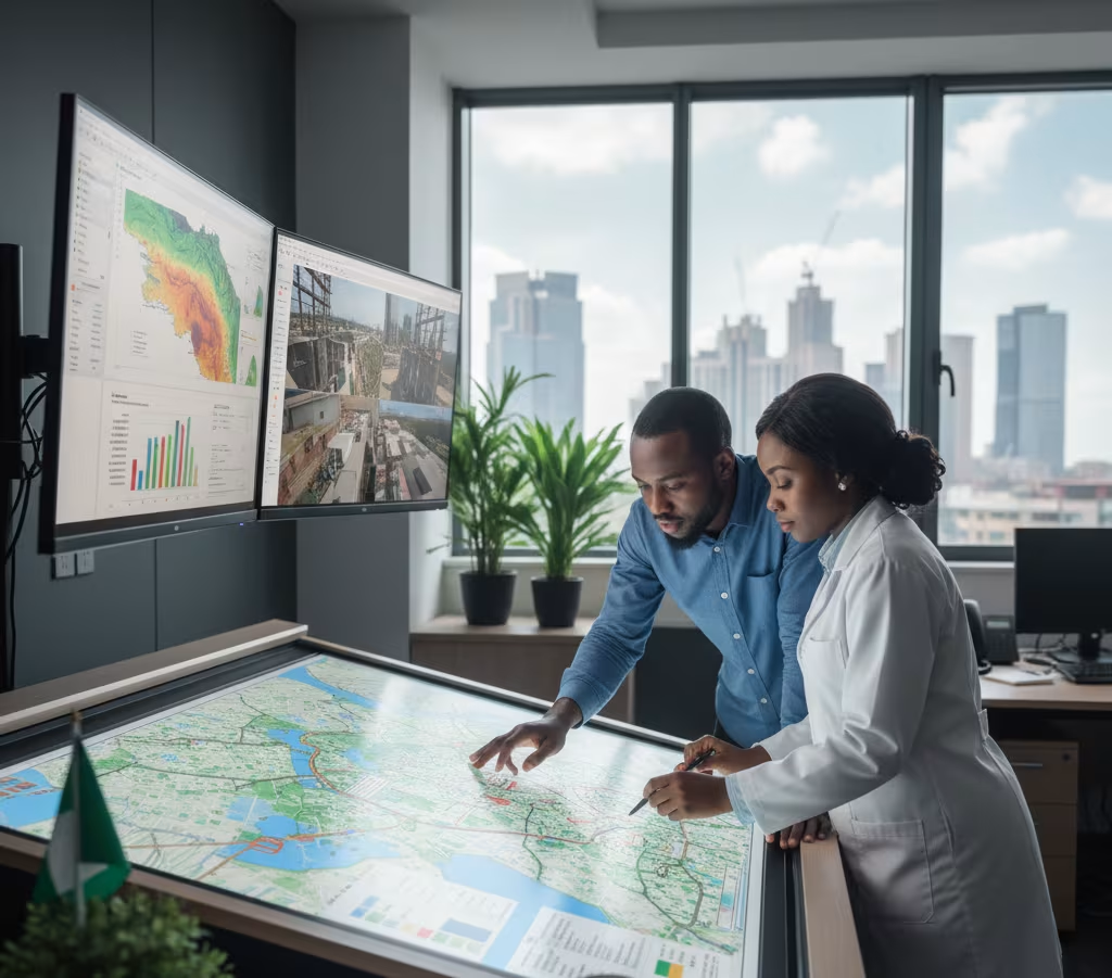
In environmental management, the right data can mean the difference between a project that thrives and one that stalls. At Stellovate Limited, our GIS (Geographic Information Systems) & Remote Sensing services turn complex spatial data into clear, actionable insights—empowering you to plan, monitor, and manage projects with confidence.
By combining advanced mapping technologies, satellite imagery, and environmental expertise, we help you visualize impacts, optimize resource use, and make evidence-based decisions that protect ecosystems and communities.
Our GIS & Remote Sensing services include:
1️⃣ Environmental Sensitivity Mapping – Identifying and mapping sensitive habitats, protected areas, and high-risk zones.
2️⃣ Land Use & Land Cover Analysis – Monitoring changes in land patterns to assess environmental impacts over time.
3️⃣ Disaster Risk Mapping – Analyzing flood, erosion, and other hazard-prone areas to support risk mitigation strategies.
4️⃣ Project Site Selection – Using spatial data to identify optimal, low-impact locations for development.
5️⃣ Custom GIS Solutions – Designing tailored tools and dashboards for real-time environmental monitoring.
We support clients across sectors such as oil & gas, mining, renewable energy, transportation, agriculture, and real estate—ensuring that every decision is backed by accurate, location-specific intelligence.
✅ High-precision spatial data analysis
✅ Integrated mapping for compliance and planning
✅ Supports sustainable, low-impact development
See your environment clearly—act with confidence.
